Kirjaston talligalleriassa, Koulutie 1.
Näyttely on avoinna kirjaston asiakaspalveluaikoina.
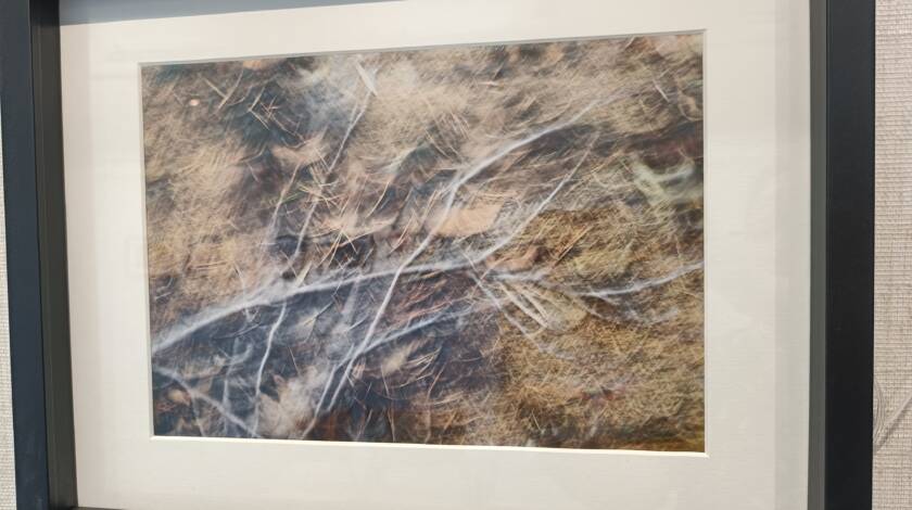
Pohjoisen Keski-Suomen Luonnovalokuvaajat ry:n 25-vuotisjuhlanäyttely 26.6. saakka
Tule ihailemaan upeita otoksia luonnosta!

Kirjaston talligalleriassa, Koulutie 1.
Näyttely on avoinna kirjaston asiakaspalveluaikoina.
Tule ihailemaan upeita otoksia luonnosta!

Ylä-Savon Jätehuolto Oy tiedottaa:
Siisteys on yhteispeliä, ja jotta keräyspisteet pysyvät kunnossa, meidän kaikkien on tehtävä osamme.
Kiitos, että et jätä jälkeäsi keräyspisteitä käyttäessäsi!
